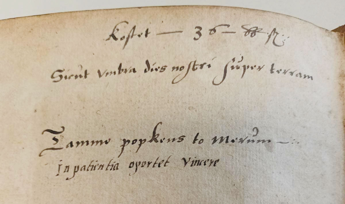
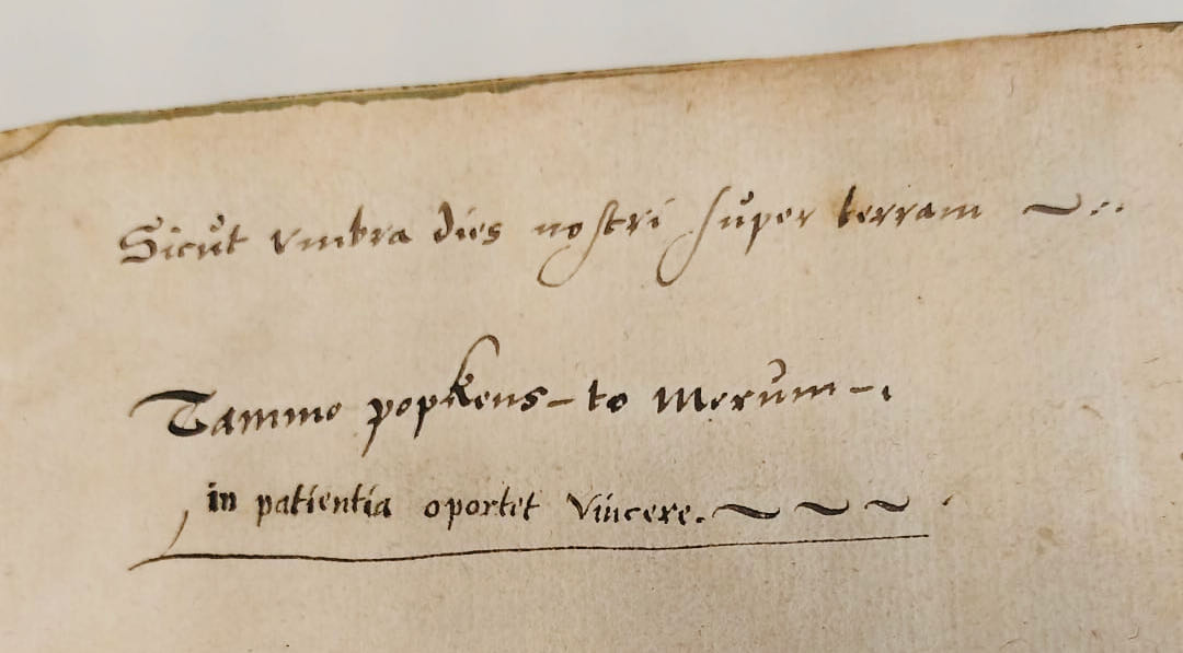
Here, in the hamlet of Merum, resided Tammo Popkens in around 1600. He was the owner of a number of farmlands in Loppersum, where he served as a ‘redger’ (rural judge or notary) in 1611. One of the books he owned was Itinerarium Sacrae Scripturae (Travel book through the Holy Scripture) from 1596, in which you, as a reader, follow prominent figures from the Bible on their travels in Israel. The owner wrote his name at the front and the back of the book: ‘Tammo popkens to Merum. In patientia oportet vincere’ or ‘Tammo Popkens in Merum. Endurance/patience is the way to victory’. Above it, he quoted the Book of Job (8:9): ‘Sicut umbra dies nostri super terram’ or ‘On earth, our days pass like shadows’.
Itinerarium Sacrae Scripturae was first published in 1581 in German. It became a bestseller. Between the year of publication and 1757, at least sixty editions were published in German, Latin, Dutch, English, Danish, Swedish, and Czech. The author was the Protestant theologist and cartographer Heinrich Bünting (1545-1606). He studied in Wittenberg and worked in Gronau, where he wrote this masterpiece in 1575. Bünting was a biblical humanist.
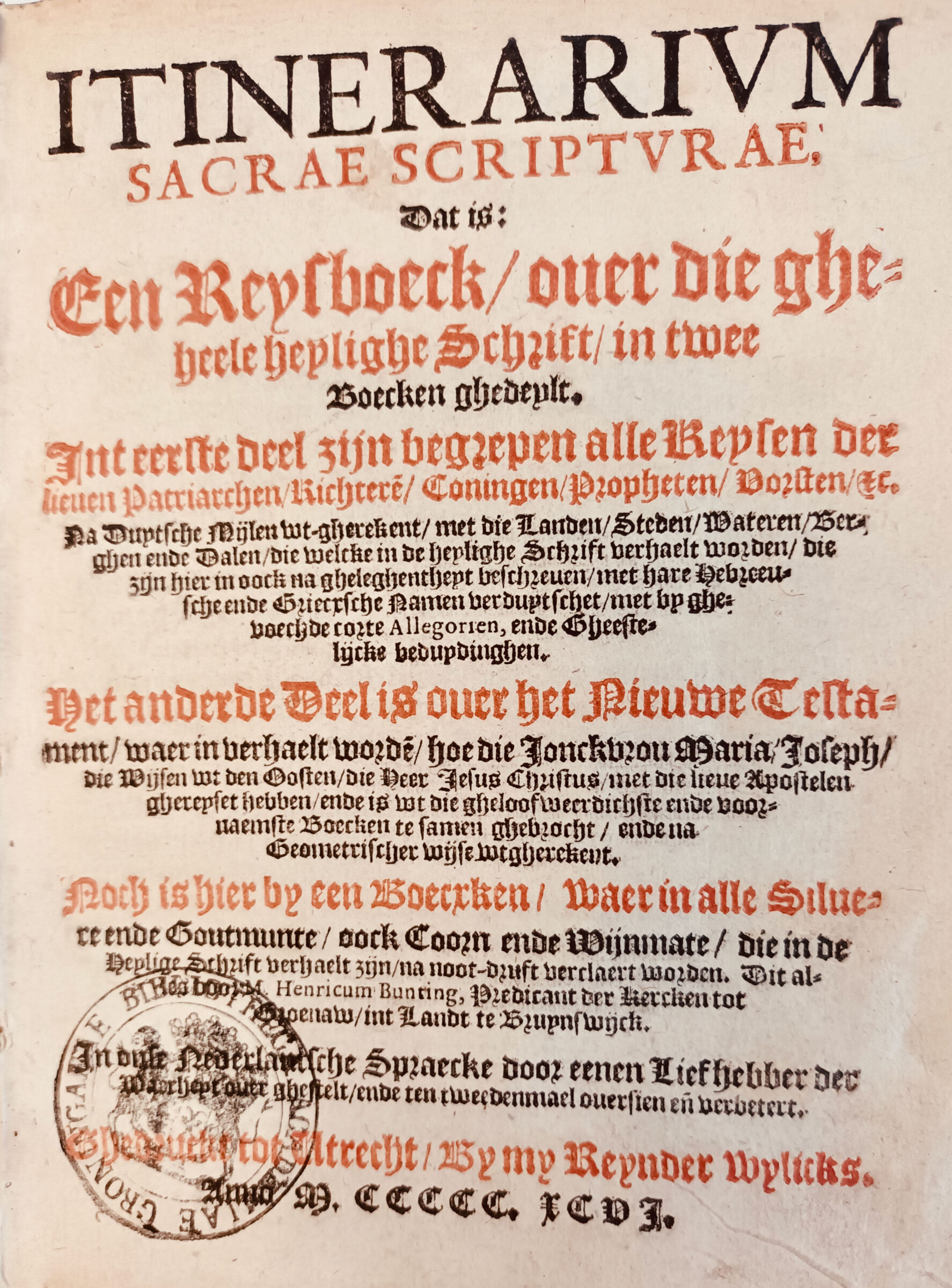
Bünting’s book was particularly intended to be read in an armchair at home. At the time, this book was the most complete reference work of the geography of the Old and the New Testaments. Christians saw Jerusalem as the centre of the religious world, which was reflected in the so-called T-O maps in the Middle Ages. Bünting followed the cartographic tradition of the Middle Ages, in which the design of the maps was more important than their geographic accuracy. He was apparently unfamiliar with the modern cartography that was slowly emerging in his days, in which reality and accuracy (the right distances) were of central importance.
This virtual-travel book became famous due to the three emblematic maps that Bünting made for it. On these maps, we see the world in the shape of a trefoil, Europe depicted as a queen, and Asia portrayed as the winged, mythological horse Pegasus. On the trefoil map, the world is divided into three parts—Europe, Africa, and Asia—with Jerusalem at its centre. The map of Europe highlights the glorious years of the Habsburg Empire. Queen Europe is depicted horizontally with Bohemia and Prague forming her heart in the centre. It is not surprising that, as a biblical humanist, Bünting also included a map representing classical Antiquity. The winged horse Pegasus symbolizes victory over evil and the creativity of the human spirit.
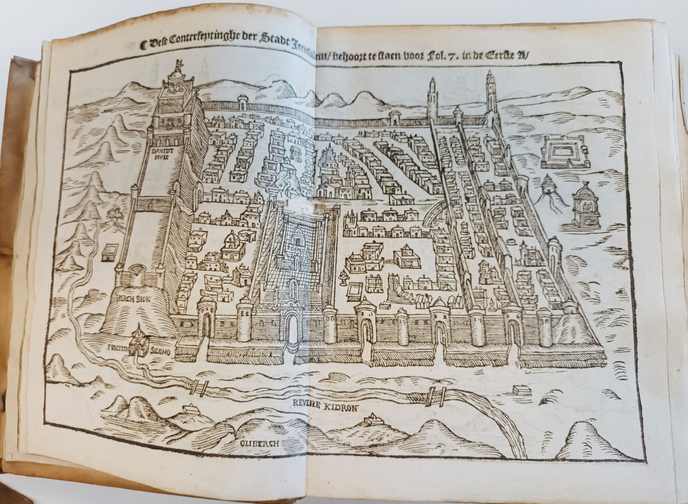
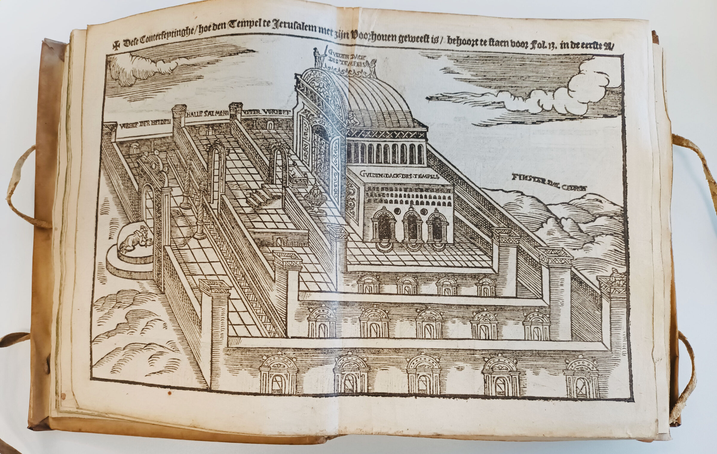
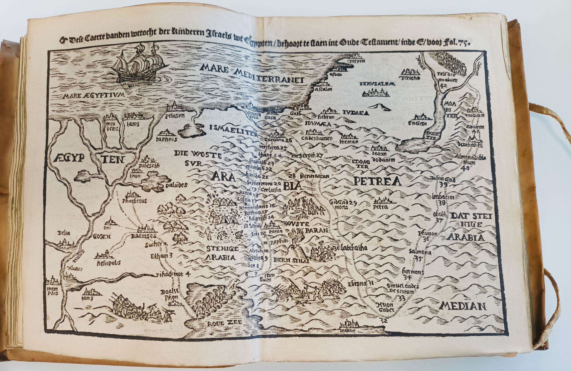
The edition of the Itinerarium belonging to Tammo Popkens is missing the three emblematic maps. This is easily explainable. After the iconoclasm of 1566, in line with Calvinist views, Protestants firmly believed that there should be no illustrations in the church and in the Bible. Maps were tolerated, although their makers did have to provide explanations. This edition features three simple maps: one showing where in Egypt Jacob’s children lived, one of the city of Jerusalem, and one of the Temple and its courts in Jerusalem.
Tammo Popkens, who lived here in Merum, owned many more printed and handwritten books. A number of his books are in the Special Collections of the University of Groningen Library. Many of them are related to Ommeland law and often contain traces of ownership. As a rural judge, Popkens owned legal documents. It is not known why he purchased or was given Bünting’s Itinerarium Sacrae Scripturae.
Author: Frida van Til


