About this website
On this interactive map Stories of Frisia, places in the northern Netherlands and in northwest Germany are linked to specific books from the Special Collections in the University of Groningen Library. Through these places and books we tell stories about the rich cultural and intellectual history of this entire region which once was called Frisia. During the Middle Ages, Frisia was a relatively independent region as well as united in many ways from a social, cultural, economic and political perspective — despite the many internal differences and enmities. The inhabitants of this entire region called themselves Frisians. Nowadays, it is divided into three distinct regions in two countries: the Dutch provinces of Groningen and Friesland and the German region of Ostfriesland.

On our map, we link places in this region (and the province of Drenthe) to specific books in our Special Collections on the basis of material evidence, i.e. traces of previous owners or users in our copies. Such traces might be handwritten names or notes, for example. Through the people who left these traces we can often establish connections between our copies and specific places in Frisia. In this way, we are mapping the rich cultural heritage of Frisia. Recent scholarly research on lieux de savoir by prof. dr. Sabrina Corbellini and others was one of our inspirations for doing so. We are grateful to prof. Corbellini for her active involvement in bringing about this website, too.
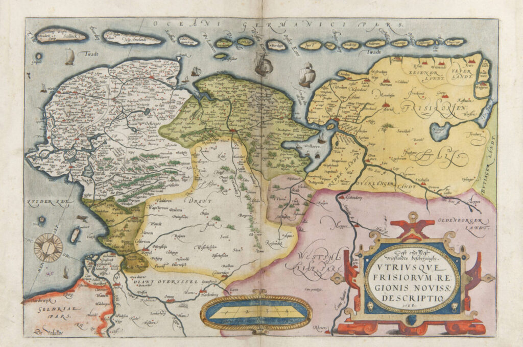
Our emphasis is on the period up to the year 1614, when an Academy was founded in Groningen. The East-Frisian Ubbo Emmius became its first rector magnificus. At the time, another city in Frisia, namely Franeker, already had an academy, which had been founded in 1585. These two universities were not the cause, but rather the consequence of a rich cultural-intellectual climate that characterized Frisia since at least the twelfth century. Another sign of this cultural wealth was the density of villages and churches on human-made dwelling mounds (so-called wierden or terpen) in precisely this region — as shown, for example, on the map of Frisia from 1568 which Abraham Ortelius included in his famous world atlas Theatrum orbis terrarum (1571).
Stories of Frisia is part of the ongoing digitization of handwritten as well as printed books and maps from our Special Collections. All these maps and books are freely available in open access through our Digital Collections. We will steadily and substantially increase the number of stories presented here in the coming months and years. Suggestions are very welcome.
In order not to burden this website with footnotes and the like, we do not list specific sources with each story. Detailed information about our sources is happily provided upon request.
Stories of Frisia was financed by the University of Groningen through its digitization project “Academic Collections in the Spotlight”.
